CURRENCY
Gold Field – Creswick c. 1880
Hand coloured lithograph 48cm X 60cm Condition A
SOLD
&;
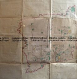
Antique Map 233-451 Victoria – County of Hampden by Bailliere c.1866
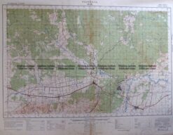
Antique Map 3-303 Victoria – Moe area c.1940
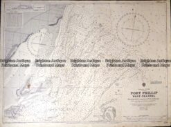
Antique map – Navigation Chart of West Channel Port Phillip c.1903 Ref: 415-027
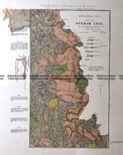
Antique Map 236-020 Geological map of Durham in Victoria c.1890