Brighton Antique Prints and Maps
Currency
WOOCS 2.1.5
VIEW CART
  • CURRENCY

    WOOCS 2.1.5
  • Home
  • Catalogue
    • Antique Maps
    • Antique Prints
    • Books & Gov’t Reports
    • Manuscript Documents
  • Recent Arrivals
  • About
  • FAQ
  • Register Interests
  • Contact Us
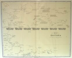
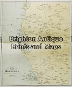
3-820 Flinders map of west coast of Carpentaria circa 1814

Home/Antique Maps/Australia & Pacific/WA, SA & NT

Antique Map 3-820 Flinders map of west coast of Carpentaria circa 1814

SKU: 3-820-4 Categories: Antique Maps, WA, SA & NT
15-103 - Western Australia E Stanford - circa 1894 Chromolithograph 51cm X 63cm Condition A+
3-307  Victoria - Anglesea area  c.1926
  • Description

3-820 Map of the west coast of the Gulf of Carpentaria by Flinders circa 1814

Copperplate engraving
45cm X 64cm
Condition A+

SOLD

These may also be of interest

  • 15-109  Western Australia - Railway map  c.1886
    Antique Maps

    Antique Map 15-109 Western Australia – Railway map c.1886

    $75.00
  • 15-099 - Western Australia John Sands - circa 1886 Chromolithograph 42cm X 52cm Condition A+
    Antique Maps

    Antique Map 15-099 – Western Australia John Sands – circa 1886 Chromolithograph 42cm X 52cm Condition A+

    $225.00
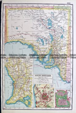
  • 11-077 - South Australia J Sands - circa 1886 Chromolithograph 52cm X 42cm Condition A+
    Antique Maps

    Antique Map 11-077 – South Australia J Sands – circa 1886 Chromolithograph 52cm X 42cm Condition A+

    $175.00
  • WA

    Antique map – Street map of Adelaide c.1897 Ref# 232-885

    $140.00
© 2026 BRIGHTON ANTIQUE PRINTS AND MAPS. ALL RIGHTS RESERVED | Website by Blaze Online
Credit Card
Norton Safe Web Transaction
  • Home
  • Catalogue
    • Antique Maps
    • Antique Prints
    • Books & Gov’t Reports
    • Manuscript Documents
  • Recent Arrivals
  • About
  • FAQ
  • Register Interests
  • Contact Us
  • View Cart
  • Login
  • Currency
    WOOCS 2.1.5

Sending...