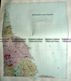
CURRENCY
England and Wales by S.D.U.K showing canals and railways
Steel engraving 31cm X 39cm Condition A+
SOLD
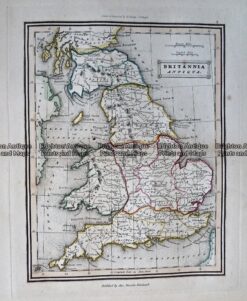
Antique Map – Britannia Antiqua c.1800 Ref: 237-330
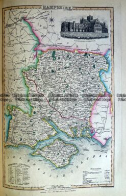
Antique Map 230-484 Hampshire by Slater c.1846
Antique Map 233-291 England – North East by Stanford c.1887
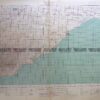
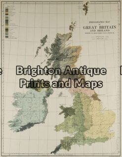
Antique Map 5-138 – Britain – Ethnological Map Johnston – circa 1886 Chromolithograph 33cm X 43cm Condition A