
Skip to content
Brighton Antique Prints and MapsBrighton Antique Prints and Maps
  • CURRENCY

    WOOCS 2.1.5
  • VIEW CART
  • Catalogue
  • Home
  • Catalogue
    • Antique Maps
    • Antique Prints
    • Books & Gov’t Reports
    • Manuscript Documents
  • Recent Arrivals
  • About
  • FAQ
  • Register Interests
  • Contact Us
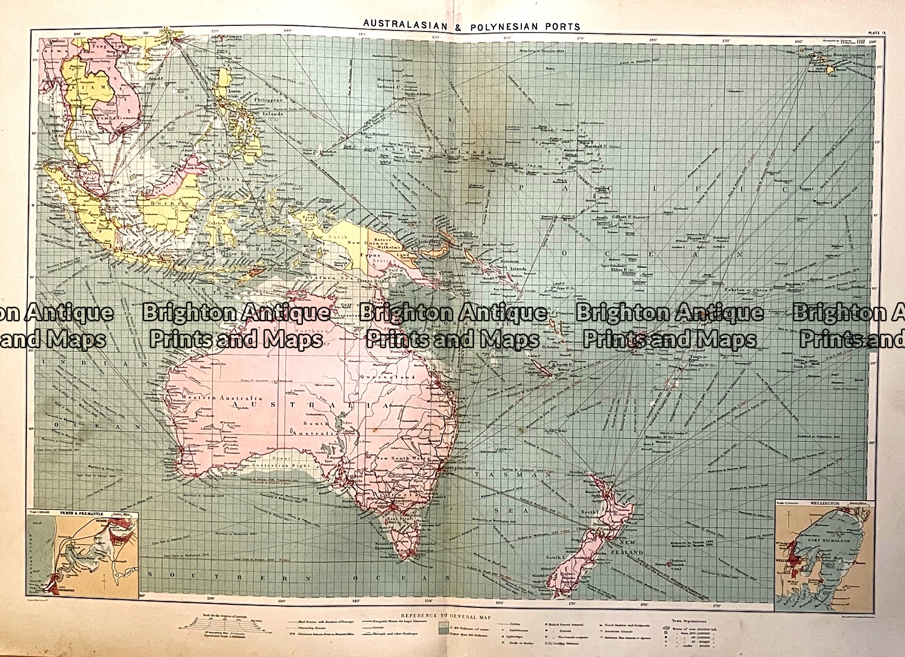
Antique map - Australia & New Zealand with shipping routes c.1913. Ref:  339-028
Home / Antique Maps / Australia & Pacific / Australia - Continent
  • 2-149  Indiae Orientalis by Visscher  c.1680

Antique map – Australia & New Zealand with shipping routes c.1913. Ref: 339-028

  • 2-149  Indiae Orientalis by Visscher  c.1680

$120.00

Category: Australia - Continent
  • 2-149  Indiae Orientalis by Visscher  c.1680
Product Categories
  • Antique Maps
    • World
    • Australia & Pacific
      • Australia - Continent
      • Victoria
      • Victorian Parish & Military Maps
      • Victorian Geological Maps
      • Melbourne
      • NSW
      • Tasmania
      • Queensland
      • WA, SA & NT
      • New Zealand
      • Pacific
    • Britain and Ireland
    • Europe
    • Asia
    • North America
    • South America
    • Africa
    • City Street Maps
    • Geological maps
    • Tallis
  • Antique Prints
  • Books & Gov't Reports
  • Manuscript Documents
  • Description
  • Reviews (0)

Maps from a Maritime Atlas, published by Philips c.1913

Australasia and shipping routes. Double-page measuring approx 66cm X 44cm.

A Maritime Atlas one year before World War I. Interesting because it was at a time when shipping and shipping routes were of critical importance. 1913 was prior to the loss of German colonies in Africa and New Guinea. Also, the end of the Ottoman Empire.

The map is in good condition and will lie flat when removed from the atlas. We have other maps from the same atlas.
Reviews

There are no reviews yet.

Be the first to review “Antique map – Australia & New Zealand with shipping routes c.1913. Ref: 339-028” Cancel reply

You must be logged in to post a review.

These may also be of interest

3-105 - Western Australia - North West J Sands - circa 1886 Chromolithograph 42cm X 52cm Condition A+

Antique Map 3-105 – Western Australia – North West J Sands – circa 1886 Chromolithograph 42cm X 52cm Condition A+

$250.00
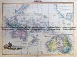
Antique Map 230-531  Oceanie by Migeon  c.1878

Antique Map 230-531 Oceanie by Migeon c.1878

$280.00
3-862 New South Wales by Tallis circa 1851

Antique Map 3-862 New South Wales by Tallis circa 1851

$350.00
3-104 - Western Australia - Sharks Bay area J Sands - circa 1886 Chromolithograph 52cm X 42cm Condition A+

Antique Map 3-104 – Western Australia – Sharks Bay area J Sands – circa 1886 Chromolithograph 52cm X 42cm Condition A+

$250.00
© 2026 BRIGHTON ANTIQUE PRINTS AND MAPS. ALL RIGHTS RESERVED | Website by Blaze Online Credit Card
Visa
PayPal
Stripe
MasterCard
Cash On Delivery
  • Home
  • Catalogue
    • Antique Maps
    • Antique Prints
    • Books & Gov’t Reports
    • Manuscript Documents
  • Recent Arrivals
  • About
  • FAQ
  • Register Interests
  • Contact Us
  • View Cart

Sending...