CURRENCY
$250.00
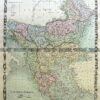
Western Australia – North West
J Sands – circa 1886Chromolithograph42cm X 52cmCondition A+
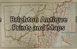
Antique Map 3-064 – New South Wales Picturesque Atlas – circa 1886 Chromolithograph 61cm X 37cm Condition A+
Antique Map 3-023 – Australia – East Coast of Australia from Cooks 1st voyage Dutch edition by Benard – circa 1774 Copperplate engraving 78cm X 36cm Condition A
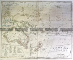
Antique Map 230-540 Australian oder Oceanien by Koehler c.1849
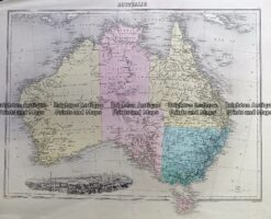
Antique Map 230-539 Australia by Migeon c.1865