CURRENCY
$180.00
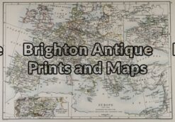
Europe by Teesdale &;c.1847
Hand coloured steel engraving 41cm X 33cm Condition A
5-027 – Europe at Napoleonic era W & AK Johnston – circa 1886 Chromolithograph 43cm X 30cm Condition A+
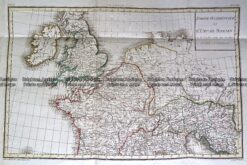
Antique Map 232-148 L’Empire Romain by D’Anville c.1797
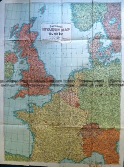
Antique Map 230-197 Europe – World War II invasion map c.1940’s
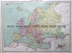
Antique map – Europe by Halmsworth c.1905 Ref: 260-001