CURRENCY
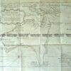
Panorama of London c.1842 – two parts that can be joined – see next listing wood engraving 121cm X 30cm Condition A+&;
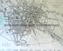
Antique Map 5-179 Berlin street map by S.D.U.K c.1844
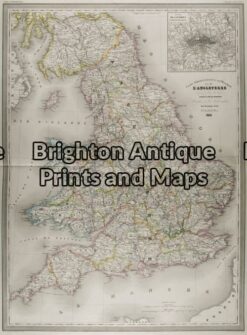
Antique Map 5-142 – England (LAngleterre) Dufour – circa 1856 Steel engraving 75cm X 55cm Condition A+
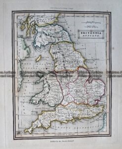
Antique Map – Britannia Antiqua c.1800 Ref: 237-330
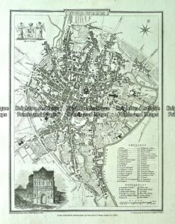
Antique map – Norwich Street Map by Verner, Hood & Sharpe c.1805 Ref#232-745