CURRENCY
Victoria – Mallee District
Department of Lands & Survey – circa 1898 Hand coloured lithograph 61cm X 75cm Condition A+
Antique map – Military and Dept of Lands & Survey maps Ref: 235-005
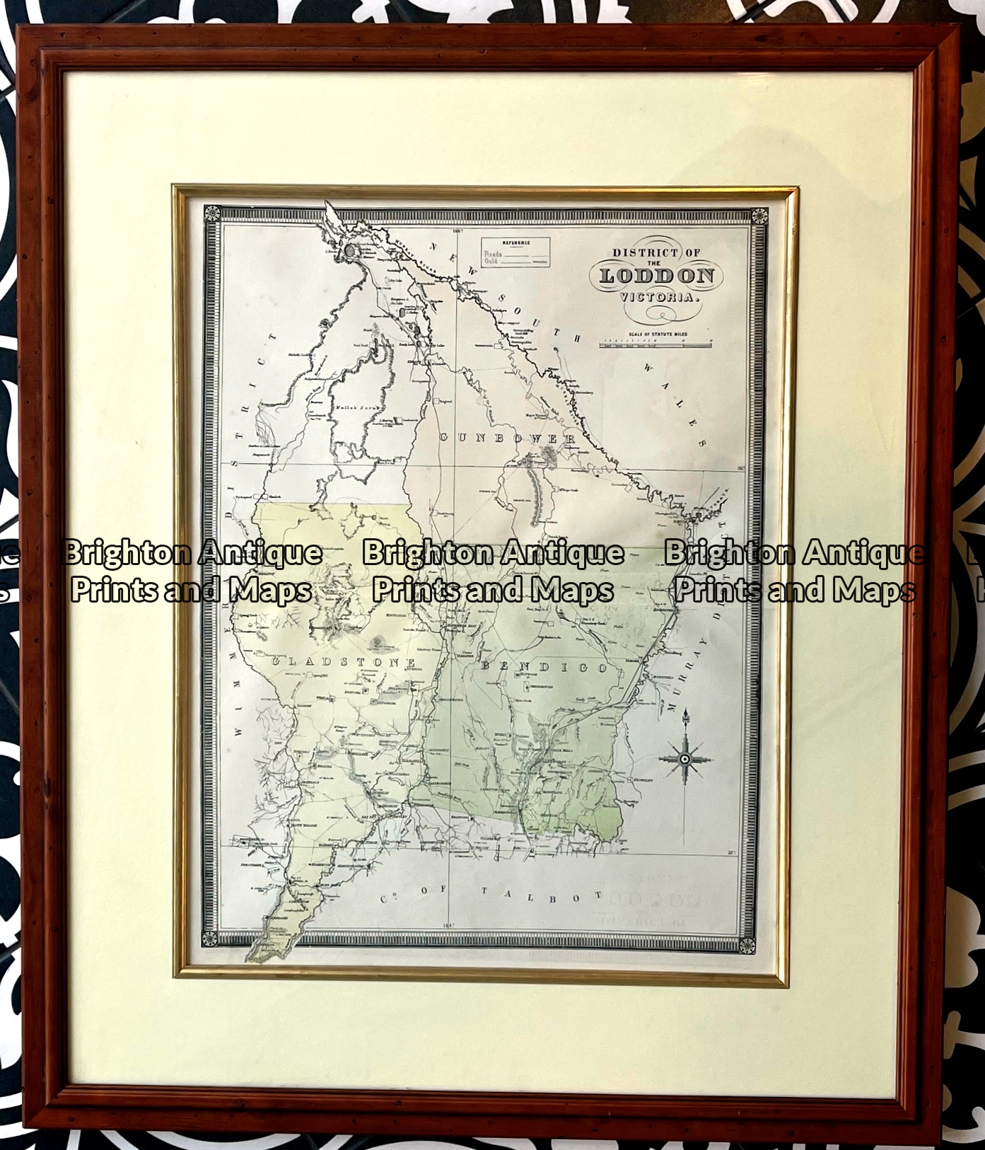
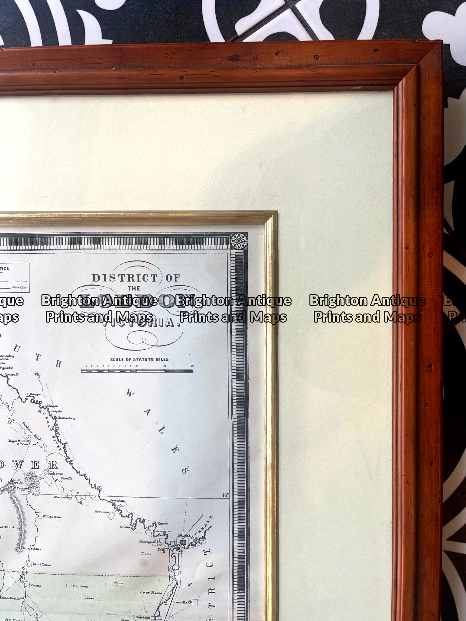
Antique map – Counties in Loddon District of Victoria by Hiscock c.1874. Ref: 789-017
Antique Map 14-205 – Victoria – Tanjil J Sands – circa 1886 Chromolithograph 53cm X 43cm Condition A+
Antique Map 14-218 – Victoria – Counties of Moira, Delatite & Bogong John Sands – circa 1886 Chromolithograph 52cm X 42cm Condition A+