CURRENCY
Port Phillip – Navigation Chart
circa 1969 65cm X 96cm Condition A
&;
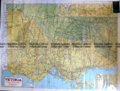
Antique Map – Western Victoria c.1960 Ref: 889-024
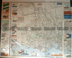
Antique Map – Road Map of Victoria by Robinson c.1930’s Ref No. 238-004
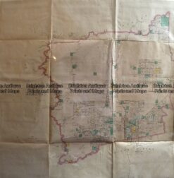
Antique Map 233-451 Victoria – County of Hampden by Bailliere c.1866
Antique Print Antique Map 233-234 Gold Mines in Victoria – Ballarat and Bendigo c.1880’s