CURRENCY
$79.00
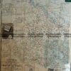
Western Victoria c.1960
Map of Western Victoria by Broadbent c.1960. Approx 98cm X 75cm.
There are no reviews yet.
You must be logged in to post a comment.
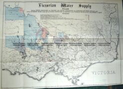
Antique Map 3-820 Victoria Water Supply by Fergusson & Mitchell c.1888
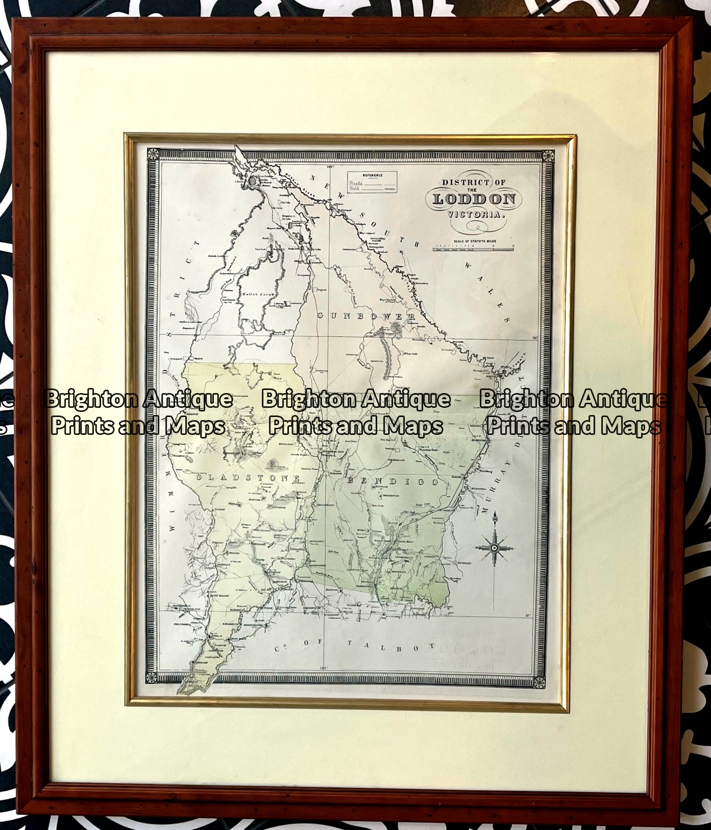
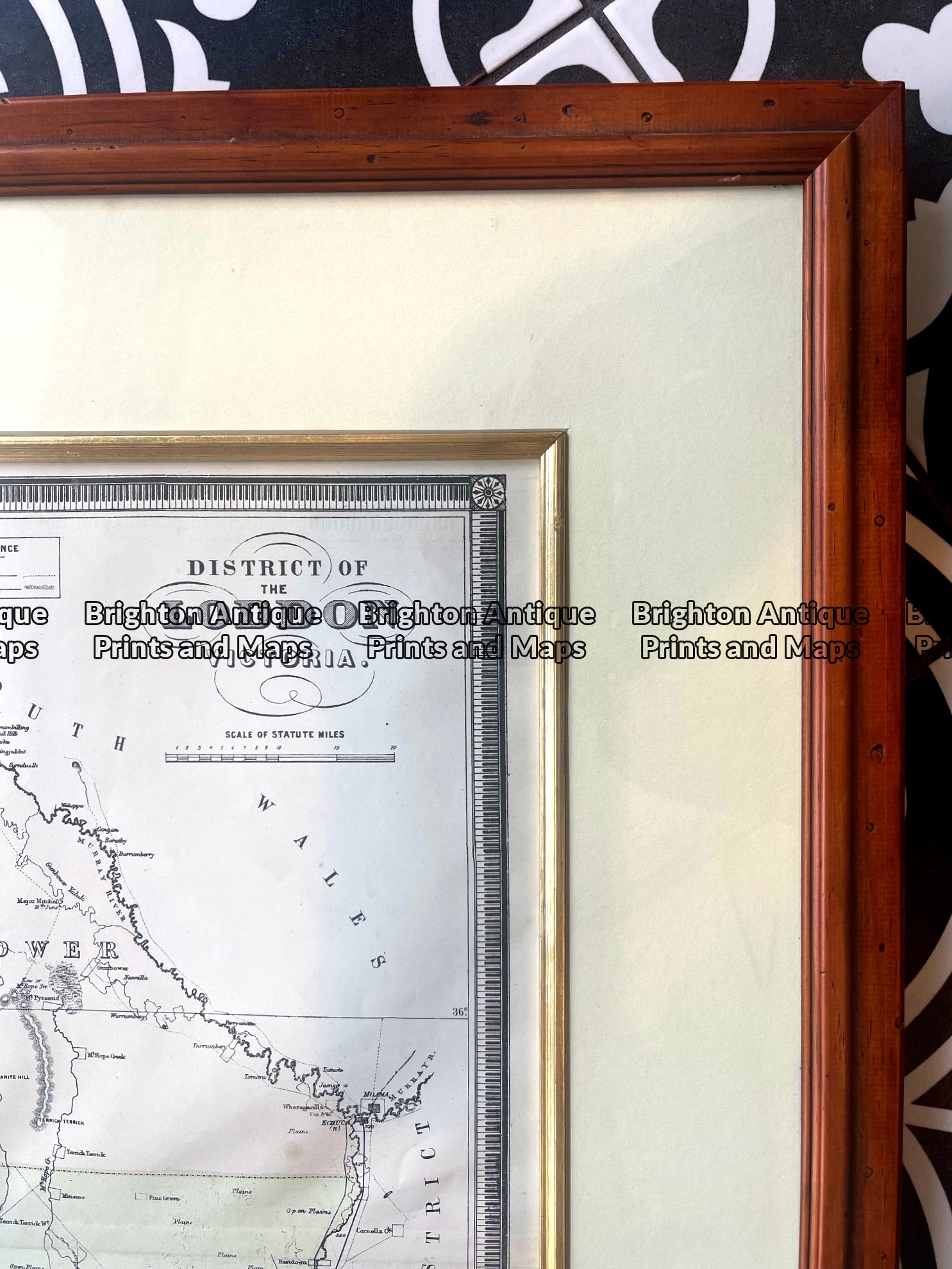
Antique map – Counties in Loddon District of Victoria by Hiscock c.1874. Ref: 789-017
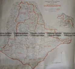
Antique Map 236-036 Corangamite – Commonwealth Electoral Division c.1977
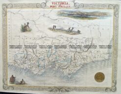
Antique Map 14-201 – Victoria or Port Phillip John Tallis – circa 1851 Steel engraving 33cm X 26cm Condition A+


Reviews
There are no reviews yet.