CURRENCY
$180.00
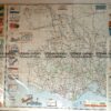
Western Victoria c.1930
Map of Western Victoria by Broadbent c.1930. Approx 68cm X 86cm.
There are no reviews yet.
You must be logged in to post a comment.
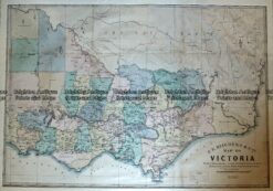
Antique Map – Map of Victoria by Hiscock c.1874 Ref No. 238-003
Antique Print Antique Map 233-237 Gold Mines in Victoria – Ballarat and Bendigo c.1880’s
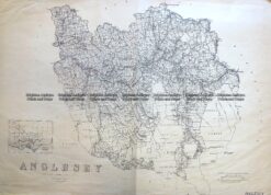
Antique Map 3-824 Victoria – County of Anglesey c.1958
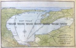
Antique Print Antique Map 29-484 Port Phillip – bird’s eye view c.1906


Reviews
There are no reviews yet.