CURRENCY
Gold Fields – Clunes Mount Greenock c.1883
Hand coloured lithograph 52cm X 62cm Condition A
SOLD
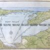
Antique Map 232-266 Port Fairy military map c.1942
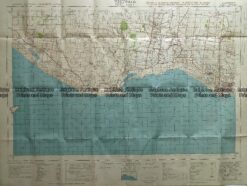
Antique Map – Western Victoria c.1960 Ref: 889-024
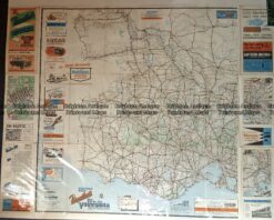
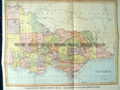
9-138 Victoria by Gordon & Gotch c.1880
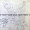
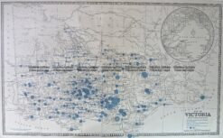
Antique Map 14-336 Victoria – showing State Schools c.1886