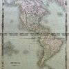
CURRENCY
$225.00
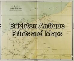
Victoria State Schools &;c.1886
Chromolithograph 61cm X 37cm Condition A+
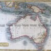
Antique Map 230-536 Carte de L’Oceanie by Malte Brun c.1836
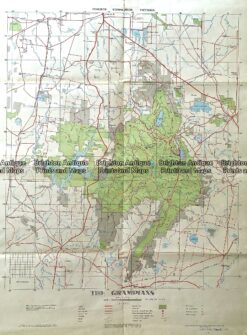
234-003 Antique map – The Grampians c.1971
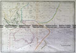
Antique Map 3-105 – Western Australia – North West J Sands – circa 1886 Chromolithograph 42cm X 52cm Condition A+
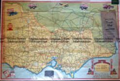
Antique Map – Road Map of Victoria by Vacuum Oil Co. c.1930’s Ref No. 238-005