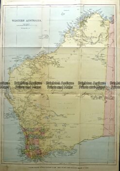
CURRENCY
$220.00
Western Australia showing districts c.1886 inset of Perth
Chromolithograph 37cm X 61cm Condition A+
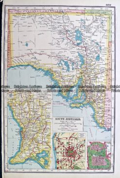
Antique map – South Australia by Harmsworth c.1920 Ref# 232-904
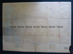
Antique Map 15-114 Western Australia – Perth and vicinity c.1886
Antique Map 15-108 Western Australia – Carnarvon c.1951
Antique Map 232-114 Western Australia c.1889