CURRENCY
$75.00
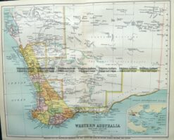
Western Australia from Australian Hand Book &;c.1886
Chromolithograph 24cm X 32cm Condition B
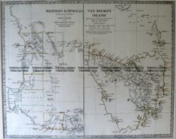
Antique Map 15-106 West Australia & Tasmania c.1844
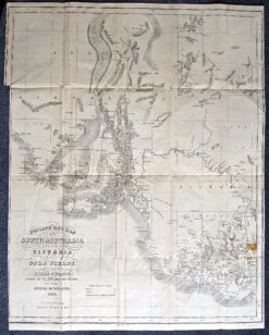
Antique map – Gold fields in South Australia c.1853Ref: 339-009
Antique Map 9-825 WA – South West c.1896
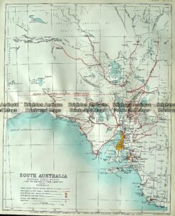
Antique map – South Australia showing public works c.1894 Ref# 232-884