CURRENCY
$75.00
South Australia Railway Map &;c.1885
Steel engraving 22cm X 41cm Condition A+
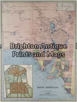
Antique Map 11-076 – South Australia Picturesque Atlas – circa 1886 Chromolithograph 37cm X 28cm Condition A+
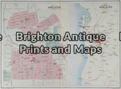
Antique Map 11-081 – South Australia – Adelaide J Bartholomew – circa 1880 Chromolithograph 31cm X 23cm Condition B
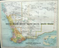
Antique Map 9-825 WA – South West c.1896
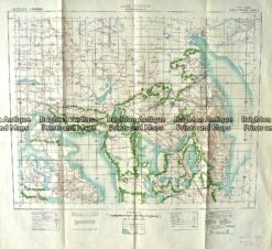
Antique Map 230-610 Lake Torrens South Australia Military Map c.1942