CURRENCY
World
Anon – circa 1823Hand coloured engraving29cm X 16cmCondition A+
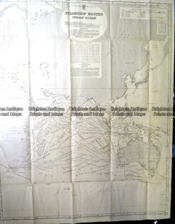
Antique Print Antique Map 230-602 Australia and Asia – Indian Ocean shipping routes c.1950
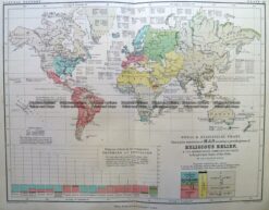
Antique Map 3-389 World – Religious Belief c.1851
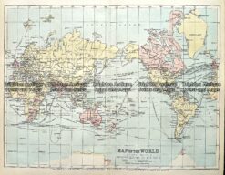
Antique map – The World c.1894 Ref# 232-891
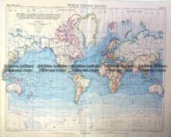
Vintage map – World Shipping Routes Ref# 232-908