CURRENCY
Nouvelle Carte de L&’;Angleterre by Chatelain c.1719
Hand coloured copperplate engraving 63cm X 47cm Condition A+
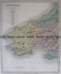
Antique Map 4-198 Wales – Southern Counties by Longman c.1836
Antique map – Britain by LeSage c.1829. Ref: 789-025
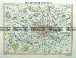
Antique map – Environs of London by Verner, Hood & Sharpe c.1805 Ref#232-743
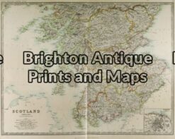
Antique Map 4-149 – Scotland – lowlands J & C Walker – circa 1835 Steel engraving 39cm X 32cm Condition A+