CURRENCY
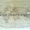
Asia by Ortelius &;c.1588
Copperplate engraving with hand colour 50cm X 35cm Condition A+
Antique Map 2-112 – Asia – India and S.E. Asia L Vivien – circa 1825 Steel engraving 56cm X 45cm Condition B
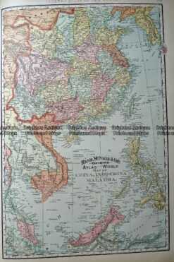
Antique Map 233-248 China, Indo China and Malaysia by Rand McNally c.1894
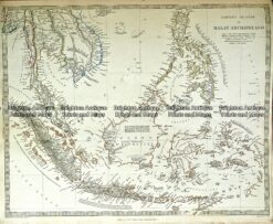
Antique map – Malay Archipelago by S.D.U.K c.1844 Ref#232-726
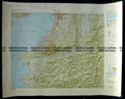
Antique Map 233-285 Japan – Southern Osaka c.1960’s