Skip to content
Brighton Antique Prints and MapsBrighton Antique Prints and Maps
  • CURRENCY

    WOOCS 2.1.5
  • VIEW CART
  • Catalogue
  • Home
  • Catalogue
    • Antique Maps
    • Antique Prints
    • Books & Gov’t Reports
    • Manuscript Documents
  • Recent Arrivals
  • About
  • FAQ
  • Register Interests
  • Contact Us
Antique Map
Home / Antique Maps / World / World and Hemispheres
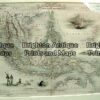
  • 2-157  Tallis map of Indonesia and S. E. Asia

Antique Map

  • 2-157  Tallis map of Indonesia and S. E. Asia

Categories: Antique Maps, World and Hemispheres
  • 2-157  Tallis map of Indonesia and S. E. Asia
Product Categories
  • Antique Maps
    • World
      • World and Hemispheres
      • Antarctica & Arctic
      • Thematic
      • Celestial
    • Australia & Pacific
    • Britain and Ireland
    • Europe
    • Asia
    • North America
    • South America
    • Africa
    • City Street Maps
    • Geological maps
    • Tallis
  • Antique Prints
  • Books & Gov't Reports
  • Manuscript Documents
  • Description
  • Reviews (0)

Map of S. E. Asia.  One of the earliest maps to show a part of Australia c.1635
The Dutch began to chart the coast of Australia in 1606.  This rare map by Blaeu shows the west side of Cape York.
Includes the discoveries of Hartog in 1616.

Hand coloured copperplate engraving
50cm X 41cm
Reviews

There are no reviews yet.

Be the first to review “Antique Map” Cancel reply

You must be logged in to post a review.

These may also be of interest

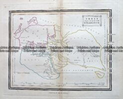
Antique Map - Orbis Secundum Strabonem c.1800  Ref: 237-336

Antique Map – Orbis Secundum Strabonem c.1800 Ref: 237-336

$75.00
16-227 - World - Eastern & Western Hemispheres Pair of maps J Wyld - circa 1840 Hand coloured steel engraving 23cm X23cm Condition A+

Antique Map 16-227 – World – Eastern & Western Hemispheres Pair of maps J Wyld – circa 1840 Hand coloured steel engraving 23cm X23cm Condition A+

$290.00
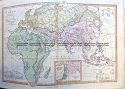
2-163  World in ancient times by Wilkinson c.1830

Antique Map 2-163 World in ancient times by Wilkinson c.1830

$150.00
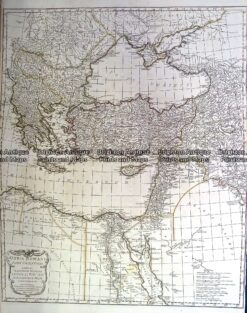
Antique Map 230-130  Orbis Romani by D'Anville  c.1785

Antique Map 230-130 Orbis Romani by D’Anville c.1785

$375.00
© 2026 BRIGHTON ANTIQUE PRINTS AND MAPS. ALL RIGHTS RESERVED | Website by Blaze Online Credit Card
Visa
PayPal
Stripe
MasterCard
Cash On Delivery
  • Home
  • Catalogue
    • Antique Maps
    • Antique Prints
    • Books & Gov’t Reports
    • Manuscript Documents
  • Recent Arrivals
  • About
  • FAQ
  • Register Interests
  • Contact Us
  • View Cart

Sending...