CURRENCY
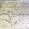
Australia and Pacific by Levasseur c.1845
Hand coloured steel engraving 43cm X 29cm Condition A+
There are no reviews yet.
You must be logged in to post a comment.
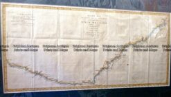
Antique Map 3-023 – Australia – East Coast of Australia from Cooks 1st voyage Dutch edition by Benard – circa 1774 Copperplate engraving 78cm X 36cm Condition A
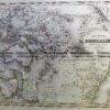
Antique Map 230-540 Australian oder Oceanien by Koehler c.1849
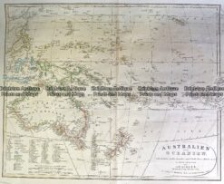
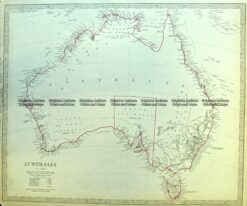
Antique Map 3-871 Australia by S.D.U.K c.1844
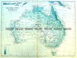
Antique Map 3-980 Australia by Bartholomew c. 1890


Reviews
There are no reviews yet.