CURRENCY
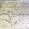
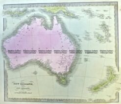
Australia and Pacific by Levasseur c.1845
Hand coloured steel engraving 43cm X 29cm Condition A+
There are no reviews yet.
You must be logged in to post a comment.
Antique Map 3-003 – Australia: Industries & Communications George Philip – circa 1905 Chromolithograph 48cm X 35cm Condition A+
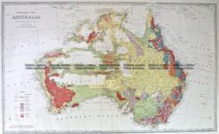
Antique Map 3-898 Australia Geological c.1886
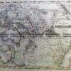
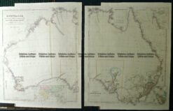
Antique Map 9-973 Australia by Arrowsmith c.1842
Antique Map 3-991 Australia and New Zealand c.1840


Reviews
There are no reviews yet.