Skip to content
Brighton Antique Prints and MapsBrighton Antique Prints and Maps
  • CURRENCY

    WOOCS 2.1.5
  • VIEW CART
  • Catalogue
  • Home
  • Catalogue
    • Antique Maps
    • Antique Prints
    • Books & Gov’t Reports
    • Manuscript Documents
  • Recent Arrivals
  • About
  • FAQ
  • Register Interests
  • Contact Us
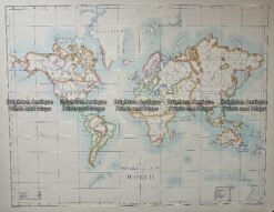
Antique Map 232-584 World Mountains and Rivers - height and length  c.1855
Home / Antique Maps / World / Thematic
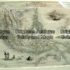
  • 2-157  Tallis map of Indonesia and S. E. Asia

Antique Map 232-584 World Mountains and Rivers – height and length c.1855

  • 2-157  Tallis map of Indonesia and S. E. Asia

Categories: Antique Maps, Thematic, World
  • 2-157  Tallis map of Indonesia and S. E. Asia
Product Categories
  • Antique Maps
    • World
      • World and Hemispheres
      • Antarctica & Arctic
      • Thematic
      • Celestial
    • Australia & Pacific
    • Britain and Ireland
    • Europe
    • Asia
    • North America
    • South America
    • Africa
    • City Street Maps
    • Geological maps
    • Tallis
  • Antique Prints
  • Books & Gov't Reports
  • Manuscript Documents
  • Description
  • Reviews (0)

Relative height of mountains and length of rivers by J. Colton c.1855

Chromolithograph
62cm X 42cm
Condition B (cropped at bottom and therefore part of scroll work is missing. Does not effect the map area).

Reviews

There are no reviews yet.

Be the first to review “Antique Map 232-584 World Mountains and Rivers – height and length c.1855” Cancel reply

You must be logged in to post a review.
These may also be of interest

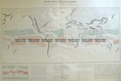
Antique Map 232-574  World - Religions by Bartholomew c.1900

Antique Map 232-574 World – Religions by Bartholomew c.1900

$120.00
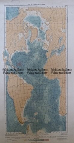
Antique Map 233-238  Der Atlantische Ozean  c.1912

Antique Map 233-238 Der Atlantische Ozean c.1912

$110.00
16-260  World - Admiralty chart - Wind chart  c.1879

Antique Map 16-260 World – Admiralty chart – Wind chart c.1879

$290.00
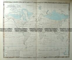
Antique Map 232-572  World - Isothermal Lines by Johnston  c.1850

Antique Map 232-572 World – Isothermal Lines by Johnston c.1850

$180.00
© 2026 BRIGHTON ANTIQUE PRINTS AND MAPS. ALL RIGHTS RESERVED | Website by Blaze Online Credit Card
Visa
PayPal
Stripe
MasterCard
Cash On Delivery
  • Home
  • Catalogue
    • Antique Maps
    • Antique Prints
    • Books & Gov’t Reports
    • Manuscript Documents
  • Recent Arrivals
  • About
  • FAQ
  • Register Interests
  • Contact Us
  • View Cart

Sending...