CURRENCY
Japan by Edward Stanford c.1887
Chromolithograph 48cm X 59cm Condition A
There are no reviews yet.
You must be logged in to post a comment.
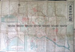
Antique Map 2-144 Tokyo street map c.1912
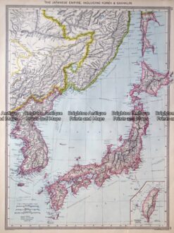
Antique map – Japan by Harmsworth c.1905 Ref: 415-011
Antique Map 2-142 – Kyoto – Japanese street map Anon – circa 1890 Wood block 60cm X 50cm Condition A
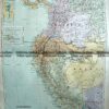
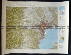
Antique Map 233-280 Japan – Tokyo Yokohama region c.1960’s


Reviews
There are no reviews yet.