CURRENCY
$80.00
Britain and Ireland by J.B. Wolters c.1929
33cm X 40cm Condition A
There are no reviews yet.
You must be logged in to post a comment.
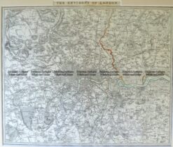
Antique Map 4-177 London and vicinity by S.D.U.K. c.1844
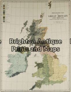
Antique Map 5-138 – Britain – Ethnological Map Johnston – circa 1886 Chromolithograph 33cm X 43cm Condition A
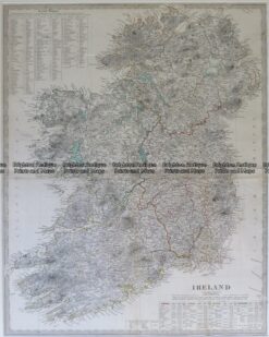
Antique Map 4-175 Ireland by S.D.U.K. c.1844
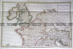
Antique Map 232-148 L’Empire Romain by D’Anville c.1797


Reviews
There are no reviews yet.