CURRENCY
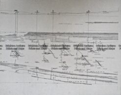
Navigation Chart of Port Phillip corrected to 1960’s
Lithograph 90cm X 100cm Condition A
Framed
There are no reviews yet.
You must be logged in to post a comment.
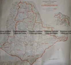
Antique Map 236-036 Corangamite – Commonwealth Electoral Division c.1977
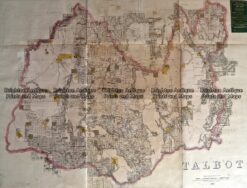
Antique Map 233-454 Victoria – County of Talbot by Bailliere c.1866
Antique Print Antique Map 233-235 Gold Mines in Victoria – Ballarat and Bendigo c.1880’s
Antique map – Western Victoria c.1930 Ref: 889-023


Reviews
There are no reviews yet.