
Skip to content
Brighton Antique Prints and MapsBrighton Antique Prints and Maps
  • CURRENCY

    WOOCS 2.1.5
  • VIEW CART
  • Catalogue
  • Home
  • Catalogue
    • Antique Maps
    • Antique Prints
    • Books & Gov’t Reports
    • Manuscript Documents
  • Recent Arrivals
  • About
  • FAQ
  • Register Interests
  • Contact Us
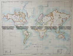
Antique Map 236-098  World on Mercator Projection by Roberts c.1794
Home / Antique Maps / World / World and Hemispheres
  • 2-157  Tallis map of Indonesia and S. E. Asia

Antique Map 236-098 World on Mercator Projection by Roberts c.1794

  • 2-157  Tallis map of Indonesia and S. E. Asia

Categories: Antique Maps, World and Hemispheres
  • 2-157  Tallis map of Indonesia and S. E. Asia
Product Categories
  • Antique Maps
    • World
      • World and Hemispheres
      • Antarctica & Arctic
      • Thematic
      • Celestial
    • Australia & Pacific
    • Britain and Ireland
    • Europe
    • Asia
    • North America
    • South America
    • Africa
    • City Street Maps
    • Geological maps
    • Tallis
  • Antique Prints
  • Books & Gov't Reports
  • Manuscript Documents
  • Description
  • Reviews (0)

World by Henry Roberts c.1794
The German edition of Roberts’ map of the world that was included in the atlas of Cook’s third voyage. Two part map

Copperplate engraving
100cm X 80cm
Condition A+

Reviews

There are no reviews yet.

Be the first to review “Antique Map 236-098 World on Mercator Projection by Roberts c.1794” Cancel reply

You must be logged in to post a review.
These may also be of interest

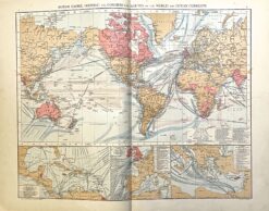
Antique map - World map showing shipping routes c.1893  Ref: 888-131

Antique map – World map showing shipping routes c.1893 Ref: 888-131

$60.00
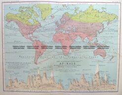
3-390 World - Distribution of Animals

Antique Map 3-390 World – Distribution of Animals

$85.00
Antique Map 232-574  World - Religions by Bartholomew c.1900

Antique Map 232-574 World – Religions by Bartholomew c.1900

$120.00
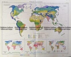
Vintage map - World vegetation by Bartholomew c.1958  Ref#232-910

Vintage map – World vegetation by Bartholomew c.1958 Ref#232-910

$100.00
© 2026 BRIGHTON ANTIQUE PRINTS AND MAPS. ALL RIGHTS RESERVED | Website by Blaze Online Credit Card
Visa
PayPal
Stripe
MasterCard
Cash On Delivery
  • Home
  • Catalogue
    • Antique Maps
    • Antique Prints
    • Books & Gov’t Reports
    • Manuscript Documents
  • Recent Arrivals
  • About
  • FAQ
  • Register Interests
  • Contact Us
  • View Cart

Sending...