CURRENCY
New South WalesW & AK Johnston circa 1890Chromolithograph 26cm X 20cmCondition A
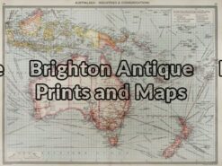
Antique Map 3-003 – Australia: Industries & Communications George Philip – circa 1905 Chromolithograph 48cm X 35cm Condition A+
Antique Map 3-105 – Western Australia – North West J Sands – circa 1886 Chromolithograph 42cm X 52cm Condition A+
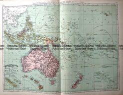
Antique Map 233-025 Oceania by Rand McNally c.1894
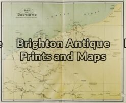
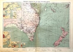
Antique map – Eastern Australia & New Zealand c.1913. Ref: 339-029