CURRENCY
Wilson&’;s Promontory National Park &;c.1930
Lithograph 40cm X 55cm Condition A
SOLD
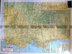
Antique Map – Road Map of Victoria by Robinson c.1930’s Ref No. 238-004
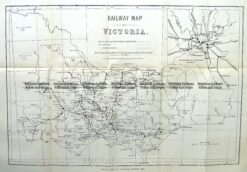
Antique Map 9-813 Victoria Railway Map c.1883
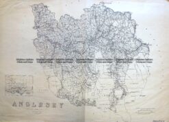
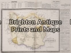
Antique Map 3-824 Victoria – County of Anglesey c.1958
Antique Map 14-230 – County of Anglesey Hiscock – circa 1874 Hand coloured lithograph 51cm X 39cm Condition A+