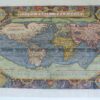
CURRENCY
World in 1783 at time of U.S. independence by Quin c.1856
Chromolithograph 47cm X 32cm Condition B+
SOLD
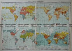
Antique Map 232-574 World – Population – Demographics by Bartholomew c.1900
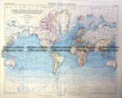
Vintage map – World Shipping Routes Ref# 232-908
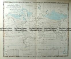
Antique Map 232-572 World – Isothermal Lines by Johnston c.1850
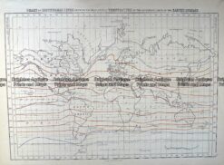
Antique Map 232-575 World – Isothermal Lines by Black c.1862