CURRENCY
Victoria – showing positions of Butter Factories
Lithograph 84cm X 60cm Condition A+
SOLD
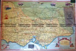
Antique Map – Road Map of Victoria by Vacuum Oil Co. c.1930’s Ref No. 238-005
Antique map – Military and Dept of Lands & Survey maps Ref: 235-005
Antique Map 233-452 Victoria – County of Villiers by Bailliere c.1866
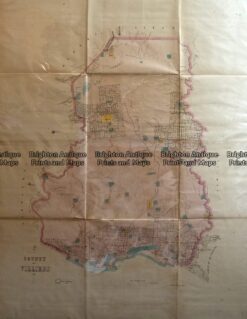
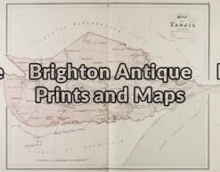
Antique Map 14-217 – Victoria – County of Tanjil John Sands – circa 1886 Chromolithograph 52cm X 42cm Condition A+