CURRENCY
$125.00
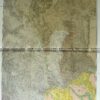
Essendon area in Doutta Galla &;c.1969
Lithograph 60cm X 80cm Condition A+
Antique Map Castle Donnington / Tatchera 1960
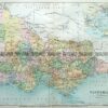
Antique Map Warenheip / Grant 1928
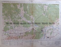
Antique Map 3-303 Victoria – Moe area c.1940
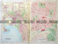
Antique Map 9-818 Melbourne Street Map c.1894