CURRENCY
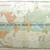
Australasia by Sidney Hall c.1816 “NOTASIA or NEW HOLLAND”
Hand coloured engraving 24cm X 19cm Condition A+
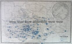
Antique Map 14-336 Victoria – showing State Schools c.1886
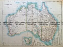
Antique Map 232- 268 Australia c.1890
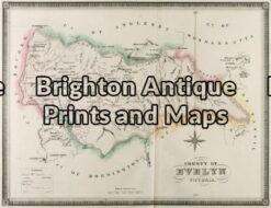
Antique Map 3-222 – Victoria – County of Evelyn F E Hiscock – circa 1874 Hand coloured lithograph 51cm X 40cm Condition A+
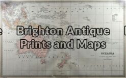
Antique Map 3-009 – Australia – Oceania Picturesque Atlas – circa 1886 Chromolithograph 61cm X 37cm Condition A+