CURRENCY
$290.00
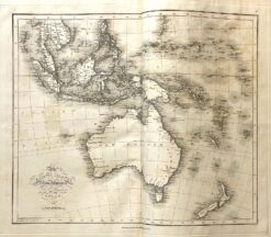
New Holland and New Zealand c.1840
Hand coloured steel engraving 32cm X 27cm Condition A+
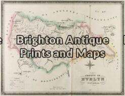
Antique Map 3-222 – Victoria – County of Evelyn F E Hiscock – circa 1874 Hand coloured lithograph 51cm X 40cm Condition A+
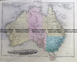
Antique Map 230-539 Australia by Migeon c.1865
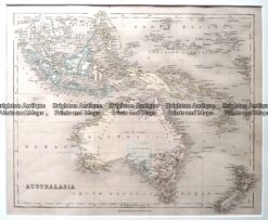
Antique Map – Australia & New Zealand by Betts c.1845 Ref: 237-360
Antique map – Australia & S.E. Asia Ref: 339-014