CURRENCY
$240.00
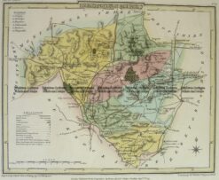
England – Northamptonshire
Antique Map 4-208 Wales Radnorshire by J Roper c.1809
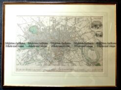
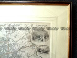
Antique Map – London Street Map by S.D.U.K. c.1836 Ref: 889-030
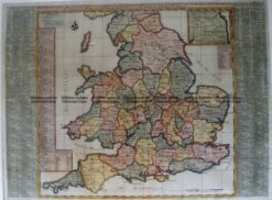
Antique Map 4-174 England and Wales by Chatelain c.1719
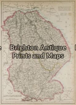
Antique Map 5-144 – England – Lincolnshire J Dower – circa 1850 Steel engraving 31cm X 43cm Condition A+