CURRENCY
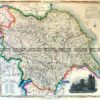
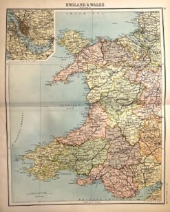
Wales
SOLD
Antique map – Wales by Bartholomew c.1898. Ref: 339-010
Antique Map 4-160 – England – Isle of Wight Moule – circa 1840 Hand coloured steel engravng 26cm X 19cm Condition A+
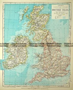
Antique Map 233-366 Britain by Letts c.1880
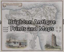
Antique Map 4-159 – England – Isle of Thanet Moule – circa 1840 Hand coloured steel engraving 26cm X 19cm Condition A+