CURRENCY
$150.00
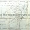
Ancient England and Wales by S.D.U.K.
Steel engraving 29cm X 37cm Condition A+
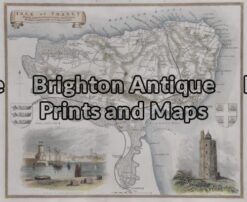
Antique Map 5-166 – England – Isle of Thanet Moule – circa 1840 Hand coloured steel engraving 26cm X 19cm Condition A+
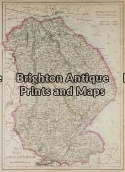
Antique Map 4-144 – England – Lincolnshire J Dower – circa 1850 Steel engraving 31cm X 43cm Condition A
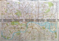
Antique Map 230-504 Plan of Central London c.1920
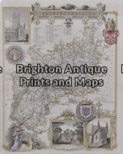
Antique Map 5 – 163 – England – Gloucestershire Moule – circa 1840 Hand coloured steel engraving 19cm X 26cm Condition A+