CURRENCY
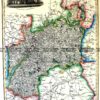
England and Wales by S.D.U.K showing canals and railways
Steel engraving 31cm X 39cm Condition A+
SOLD
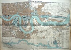
Antique Map 233-297 Port of London by Stanford c.1887
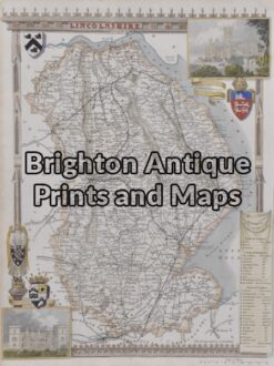
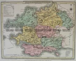
Antique Map 4-162 – England – Lincolnshire Moule – circa 1840 Hand coloured steel engraving 19cm X 26cm Condition A+
Antique Map 4-199 Wales Pembrokeshire by J Roper c.1809
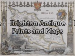
Antique Map 5-165 – England – Isle of Man Moule – circa 1840 Hand coloured steel engraving 26cm X 19cm Condition A+