CURRENCY
$190.00
London and vicinity by S.D.U.K. c.1844
Steel engraving 39cm X 32cm Codition A
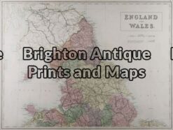
Antique Map 4-033 – England and Wales A & C Black – circa 1865 Chromolithograph 56cm X 42cm Condition A+
Antique map – Manchester & Salford Street Map by Verner, Hood & Sharpe c.1805 Ref#232-744
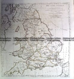
Antique Map 230-139 Britain – Britanniae Antiquae by D’Anville c.1785
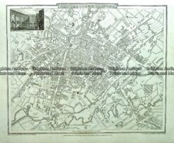
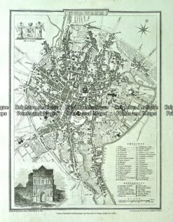
Antique map – Norwich Street Map by Verner, Hood & Sharpe c.1805 Ref#232-745