CURRENCY
$180.00
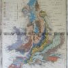
Britain by S.D.U.K. c.1844
Steel engraving 32cm X 39cm Condition A+
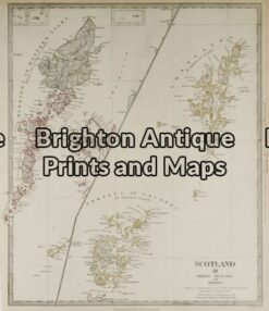
Antique Map 4-153 – Shetlands J & C Walker – circa 1835 Steel engraving 39cm X 32cm Condition A+
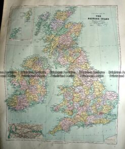
Antique Map 233-289 Britain – County map by Stanford c.1887
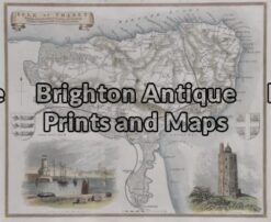
Antique Map 4-159 – England – Isle of Thanet Moule – circa 1840 Hand coloured steel engraving 26cm X 19cm Condition A+
Antique Map 4-033 – England and Wales A & C Black – circa 1865 Chromolithograph 56cm X 42cm Condition A+