CURRENCY
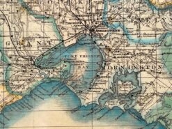
Navigation Chart of Geelong Harbour 1864 corrected to 1934
Lithograph 80cm X 47cm Condition A+
Antique Print Antique Map 233-236 Gold Mines in Victoria – Ballarat and Bendigo c.1880’s
Antique map – Victoria by Proeschel c.1863. Ref: 339-038
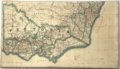
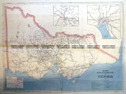
Antique Print Antique Map 3-330 Victoria Railway lines c.1886
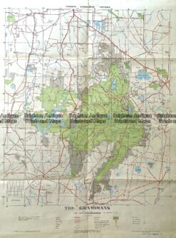
234-003 Antique map – The Grampians c.1971