Skip to content
Brighton Antique Prints and MapsBrighton Antique Prints and Maps
  • CURRENCY

    WOOCS 2.1.5
  • VIEW CART
  • Catalogue
  • Home
  • Catalogue
    • Antique Maps
    • Antique Prints
    • Books & Gov’t Reports
    • Manuscript Documents
  • Recent Arrivals
  • About
  • FAQ
  • Register Interests
  • Contact Us
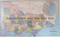
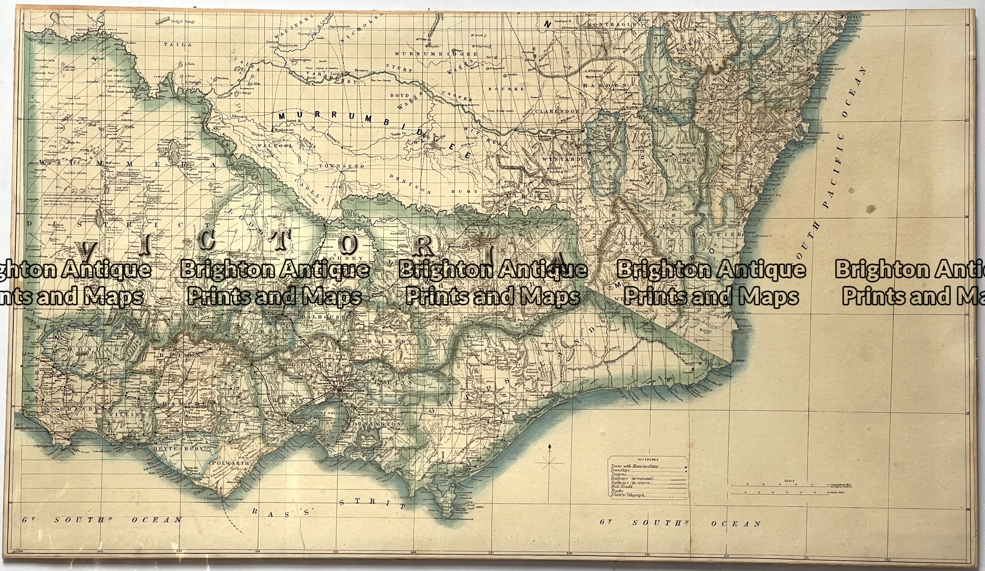
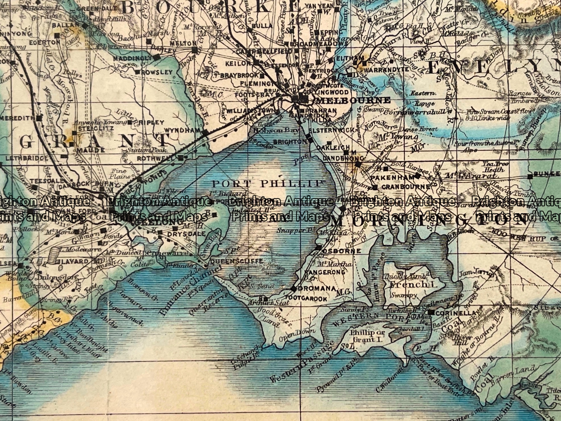
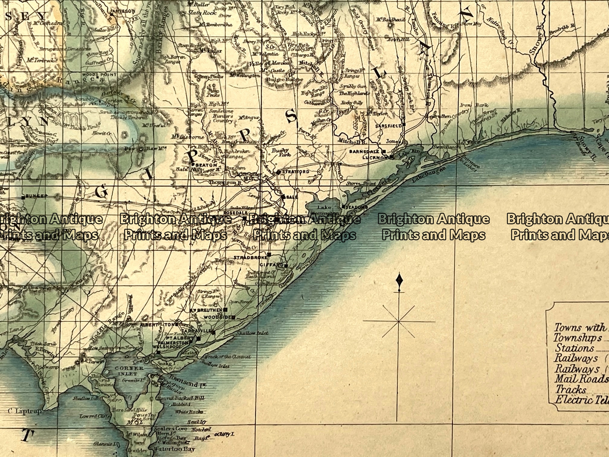
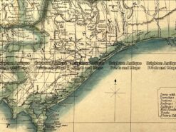
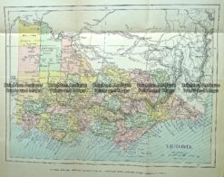
Antique map - Victoria by Proeschel c.1863.  Ref:  339-038
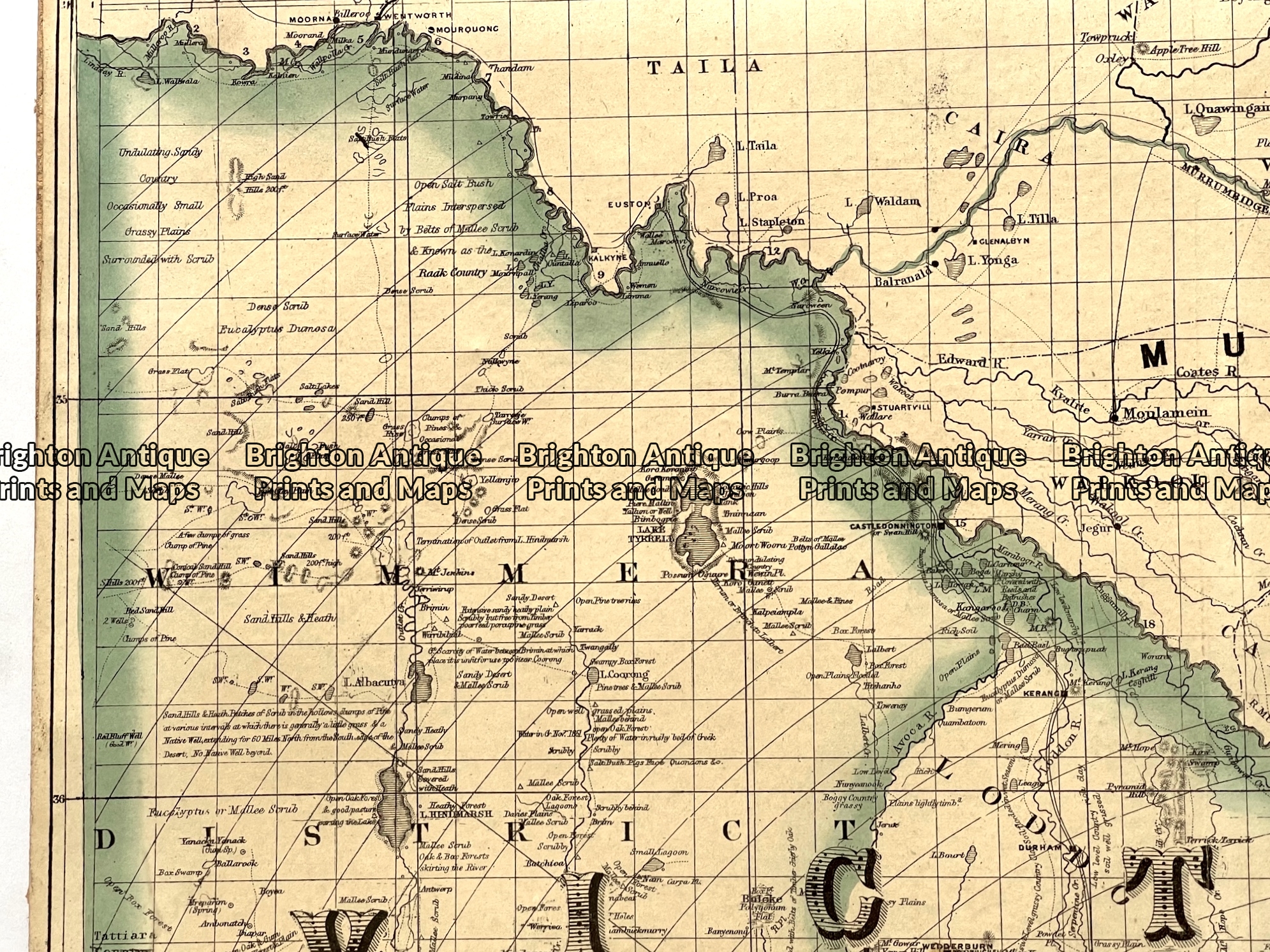
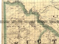
Antique map - Victoria by Proeschel c.1863.  Ref:  339-038 - Image 2
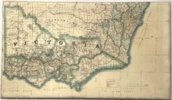
Antique map - Victoria by Proeschel c.1863.  Ref:  339-038 - Image 3
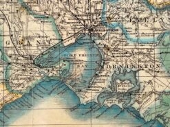
Antique map - Victoria by Proeschel c.1863.  Ref:  339-038 - Image 4
Antique map - Victoria by Proeschel c.1863.  Ref:  339-038
Antique map - Victoria by Proeschel c.1863.  Ref:  339-038 - Image 2
Antique map - Victoria by Proeschel c.1863.  Ref:  339-038 - Image 3
Antique map - Victoria by Proeschel c.1863.  Ref:  339-038 - Image 4
Home / Antique Maps / Australia & Pacific / Victoria
  • 3-870  New South Wales and South Australia c.1845

Antique map – Victoria by Proeschel c.1863. Ref: 339-038

  • 3-870  New South Wales and South Australia c.1845

$2,250.00

Category: Victoria
  • 3-870  New South Wales and South Australia c.1845
Product Categories
  • Antique Maps
    • World
    • Australia & Pacific
      • Australia - Continent
      • Victoria
      • Victorian Parish & Military Maps
      • Victorian Geological Maps
      • Melbourne
      • NSW
      • Tasmania
      • Queensland
      • WA, SA & NT
      • New Zealand
      • Pacific
    • Britain and Ireland
    • Europe
    • Asia
    • North America
    • South America
    • Africa
    • City Street Maps
    • Geological maps
    • Tallis
  • Antique Prints
  • Books & Gov't Reports
  • Manuscript Documents
  • Description
  • Reviews (0)

Victoria by Proeschel c.1863

Proeschel’s atlas was the first national atlas to be printed in Australia and it contained detailed large, folding maps of Victoria, NSW, Queensland, North Australia and South Australia. As an indication of the atlas’s rarity, a copy recently sold for about $14,000.

The map of Victoria from Proeschel’s atlas measures approx 69cm X 39cm. The map is adhered to a thin board to strengthen the paper. This map is very rare.
Reviews

There are no reviews yet.

Be the first to review “Antique map – Victoria by Proeschel c.1863. Ref: 339-038” Cancel reply

You must be logged in to post a review.

These may also be of interest

14-217 - Victoria - County of Tanjil John Sands - circa 1886 Chromolithograph 52cm X 42cm Condition A+

Antique Map 14-217 – Victoria – County of Tanjil John Sands – circa 1886 Chromolithograph 52cm X 42cm Condition A+

$290.00
Antique Print Antique Map 233-232  Gold Mines in Victoria - Cross-section detail  c.1880's

Antique Print Antique Map 233-232 Gold Mines in Victoria – Cross-section detail c.1880’s

$50.00
9-129  Military map of Melbourne c.1931

Antique Map 9-129 Military map of Melbourne c.1931

$85.00
Antique Map 230-226  Military map of Western Port Vic c.1940

Antique Map 230-226 Military map of Western Port Vic c.1940

$125.00
© 2026 BRIGHTON ANTIQUE PRINTS AND MAPS. ALL RIGHTS RESERVED | Website by Blaze Online Credit Card
Visa
PayPal
Stripe
MasterCard
Cash On Delivery
  • Home
  • Catalogue
    • Antique Maps
    • Antique Prints
    • Books & Gov’t Reports
    • Manuscript Documents
  • Recent Arrivals
  • About
  • FAQ
  • Register Interests
  • Contact Us
  • View Cart

Sending...