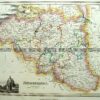
CURRENCY
$180.00
Britain by S.D.U.K. c.1844
Steel engraving 32cm X 39cm Condition A+
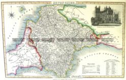
Antique Map 4-189 Devonshire England by I. Slater c.1846
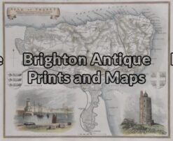
Antique Map 4-159 – England – Isle of Thanet Moule – circa 1840 Hand coloured steel engraving 26cm X 19cm Condition A+
Antique Map 4-164 – England – Northamptonshire Moule – circa 1840 Hand coloured steel engraving 19cm X 26cm Condition A+
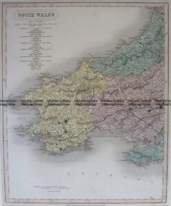
Antique Map 4-198 Wales – Southern Counties by Longman c.1836