CURRENCY
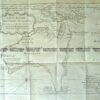
Panorama of London c.1842 – two parts that can be joined – see next listing wood engraving 121cm X 30cm Condition A+&;
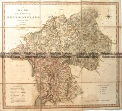
Antique Map – Westmoreland by C. Smith c.1808 Ref: 889-026
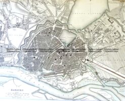
Antique Map 5-180 Hamburg street map by S.D.U.K c.1844
Antique Map 5-146 – England – Hampshire Moule – circa 1840 Hand coloured steel engraving 25cm X 19cm Condition A+
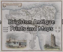
Antique Map 5-166 – England – Isle of Thanet Moule – circa 1840 Hand coloured steel engraving 26cm X 19cm Condition A+