CURRENCY
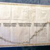
Panorama of London c.1842 – two parts that can be joined – see next listing wood engraving 121cm X 30cm Condition A+&;
Antique map – Hereford Street Map by Verner, Hood & Sharpe c.1805 Ref#232-742
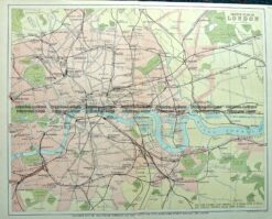
Antique Map 4-140 London and vicinity c.1892
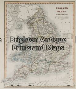
Antique Map 5-141 – England and Wales Downer – circa 1840 Hand coloured steel engraving 21cm X 26cm Condition A+
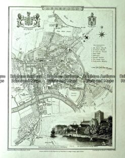
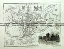
Antique map – Chester Street Map by Verner, Hood & Sharpe c.1805 Ref#232720