CURRENCY
$140.00
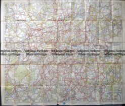
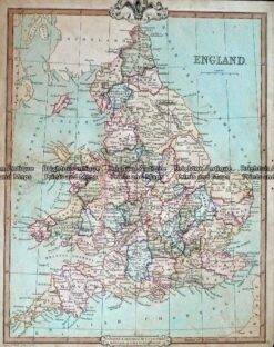
England – northern Counties by SDUK &;c.1844
Steel engraving 37cm X 31cm Condition A+
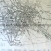
Antique map – RAC map of London c.1930’s
Antique map – St Alban’s Street Map by Verner, Hood & Sharpe c.1805 Ref#232-748
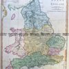
Antique Map 232-403 England by Cruchley c.1834
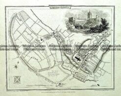
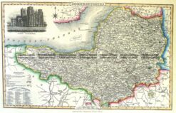
Antique Map 4-188 Somersethire England by I. Slater c.1846