CURRENCY
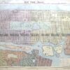
Street map of London by Letts &;c.1883
Chromolithograph 66cm X 40cm Condition A+
SOLD
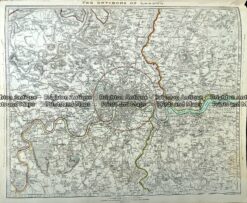
Antique Map 233-005 London and vicinity by S.D.U.K c.1844
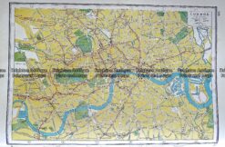
Antique map – London street map by Harmsworth c.1920 Ref# 232-914
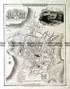
Antique map – Winchester Street Map by Verner, Hood & Sharpe c.1805 Ref#232-749
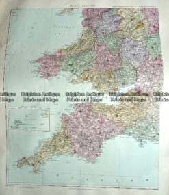
Antique Map 233-294 England and Wales – South West by Stanford c.1887