CURRENCY
$140.00
England – Roman by Wilkinson c.1830
Hand coloured steel engraving 22cm X 28cm Condition A+
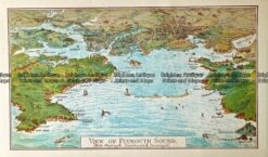
Antique Map 232 – Plymouth Harbour by Gordon & Gotch c.1889
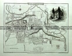
Antique map – Colchester Street Map by Verner, Hood & Sharpe c.1805 Ref#232-740
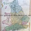
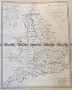
Antique Map 4-167 Ancient England and Wales c.1844
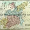
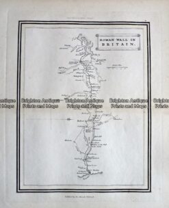
Antique Map – Roman Wall in Britain c.1800 Ref 237-334