CURRENCY
$280.00
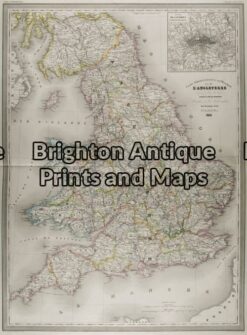
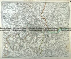
England by Henry Teesdale c.1847 engraved by J. Dower
Hand coloured steel engraving 34cm X 41cm Condition A
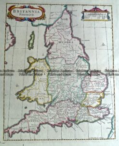
Antique Map 232-171 Britannia Saxonica by Morden c.1695
Antique Map 5-142 – England (LAngleterre) Dufour – circa 1856 Steel engraving 75cm X 55cm Condition A+
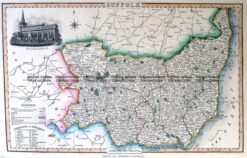
Antique Map 4-186 County of Suffolk England c.1846
Antique Map 233-005 London and vicinity by S.D.U.K c.1844