CURRENCY
$125.00
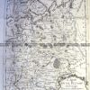
Wales – County of Radnorshire by Roper &;c.1809
Hand coloured copperplate engraving 23cm X 17cm Condition A+
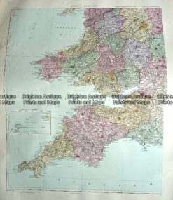
Antique Map 233-294 England and Wales – South West by Stanford c.1887
Antique Map 4-155 – England – Cumberland Moule – circa 1840 Hand coloured steel engraving 19cm X 26cm Condition A+
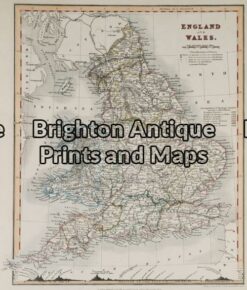
Antique Map 5-141 – England and Wales Downer – circa 1840 Hand coloured steel engraving 21cm X 26cm Condition A+
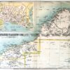
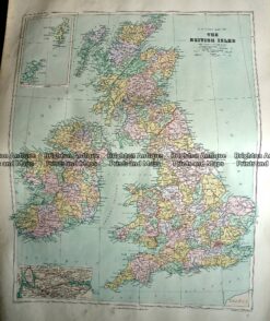
Antique Map 233-289 Britain – County map by Stanford c.1887